

What Is a Digital Surface Model
A Digital Surface Model (DSM) is a digital representation of the Earth’s surface that includes information about the elevation or height of the terrain features on that surface. It is typically created using remote sensing technologies such as LiDAR (Light Detection and Ranging) or photogrammetry, which collect data from the air or space to measure the elevation of the ground, vegetation, buildings, and other objects.
Here are some key points about Digital Surface Models:
- Elevation Data: A DSM contains elevation information for all objects on the Earth’s surface, including natural features like mountains, valleys, rivers, and forests, as well as man-made structures like buildings and bridges.
- Inclusive of All Features: Unlike a Digital Terrain Model (DTM), which represents only the bare ground surface by removing vegetation and man-made structures, a DSM includes all surface features. This means that if you were to look at a DSM, you would see the tops of trees, buildings, and other objects, not just the ground elevation.
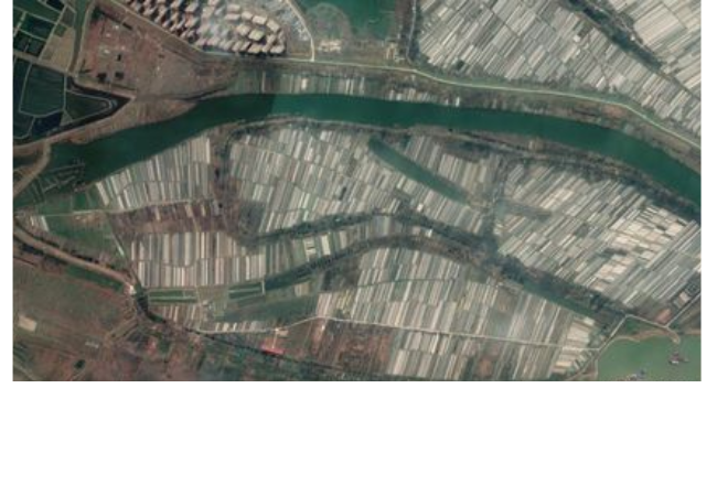
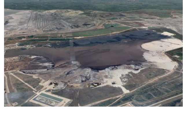
- Use Cases: DSMs have a wide range of applications in various fields, including urban planning, forestry, agriculture, environmental monitoring, and engineering. They are particularly useful for tasks such as flood modeling, land use planning, and 3D modeling of landscapes.
Also read the Article: What Does IoT Stand for in Terms of 5G Technology
- Visualization: DSMs are often used to create 3D visualizations of landscapes and terrain, allowing researchers, planners, and decision-makers to better understand the topography of an area and how it may be impacted by different factors.
Understanding Digital Surface Models (DSMs)
What is a Digital Surface Model, often abbreviated as DSMs, are digital representation of the Earth’s surface, including both natural features and man-made structures. Unlike Digital Elevation Models (DEMs), which represent the bare Earth surface without accounting for vegetation or buildings, DSMs capture the topography as it appears on the surface. This means that DSMs include trees, buildings, and any other above-ground features.
How are DSMs Created?
Creating what is a digital surface model involves the use of remote sensing techniques, such as LiDAR (Light Detection and Ranging) or photogrammetry. Here’s a simplified overview of the process:
- Data Acquisition: Aerial LiDAR sensors or cameras capture data from above, sending laser pulses or taking photographs of the Earth’s surface.
- Point Cloud Generation: The collected data is processed to create a point cloud, which consists of millions of points in 3D space.
- Surface Reconstruction: Algorithms are applied to these points to create a continuous surface representation, including all the objects and terrain features.
- Orthorectification: The DSM is georeferenced and adjusted for distortions to ensure accuracy.
Applications of Digital Surface Models
DSMs find applications in a wide range of industries, owing to their ability to provide detailed information about the Earth’s surface. Some key applications include:
Urban Planning and Development
DSMs are invaluable in urban planning, helping city planners understand existing structures, vegetation, and topography. This data aids in making informed decisions about zoning, infrastructure development, and disaster management.
Environmental Conservation
In the realm of environmental science, what is a digital surface model? DSMs are used to monitor changes in landscapes, study vegetation cover, and assess the impact of deforestation or land degradation.
Agriculture and Precision Farming
Farmers utilize DSMs for crop monitoring and management. These models assist in optimizing irrigation, identifying crop stress, and improving overall agricultural productivity.
Flood Modeling and Management
DSMs play a crucial role in flood modeling by providing elevation data that helps predict flood patterns and assess potential risks to communities.
Archaeology and Cultural Heritage
Archaeologists use DSMs to uncover hidden archaeological features and map ancient landscapes, shedding light on historical civilizations.
Transportation and Infrastructure Planning
In the field of transportation, what is a digital surface model? DSMs aid in the planning and design of roads, railways, and airports. They help engineers understand the terrain and obstacles, allowing for optimized route selection and construction.
Forestry and Timber Management
Forestry professionals utilize DSMs to assess forest health, estimate timber volumes, and plan sustainable logging operations. This contributes to both conservation efforts and the forestry industry’s sustainability.
Significance of DSMs in Various Industries
The versatility of DSMs in diverse industries stems from their ability to provide highly accurate and detailed information about the Earth’s surface. This data can be instrumental in decision-making processes, resource management, and risk assessment. For More Intersting Information Visit Our Website: Tech X Webs
Conclusion
In conclusion, what is a digital surface model (DSM) has revolutionized the way we perceive and interact with our environment. These intricate 3D representations of the Earth surface offer valuable insights across numerous sectors, from urban planning to environmental conservation. As technology continues to advance, the applications of DSMs are only expected to expand, making them an indispensable tool in the modern world.
FAQs
1. Are Digital Surface Models the same as Digital Elevation Models (DEMs)?
No, they are not the same. While both represent the Earth’s surface, DSMs include above-ground features like trees and buildings, whereas DEMs focus solely on the bare Earth surface.
2. What software is commonly used to create DSMs?
Popular software for creating DSMs includes ArcGIS, QGIS, and specialized photogrammetry software like Pix4D.
3. Can DSMs be used for geological studies?
Yes, DSMs are used in geological studies to analyze terrain, fault lines, and other geological features.
4. Are there any limitations to DSMs?
DSMs may not be as accurate in densely forested areas or regions with significant cloud cover, as these can obstruct the data collection process.
5. How often are DSMs updated?
The frequency of DSM updates depends on the specific application. Some applications require frequent updates, while others can work with less frequent data refreshes.